Ajijic
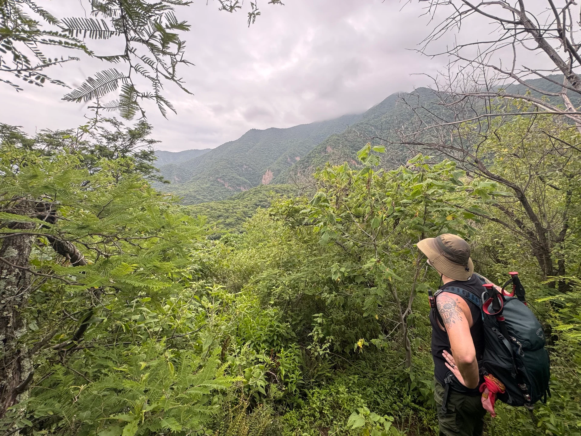
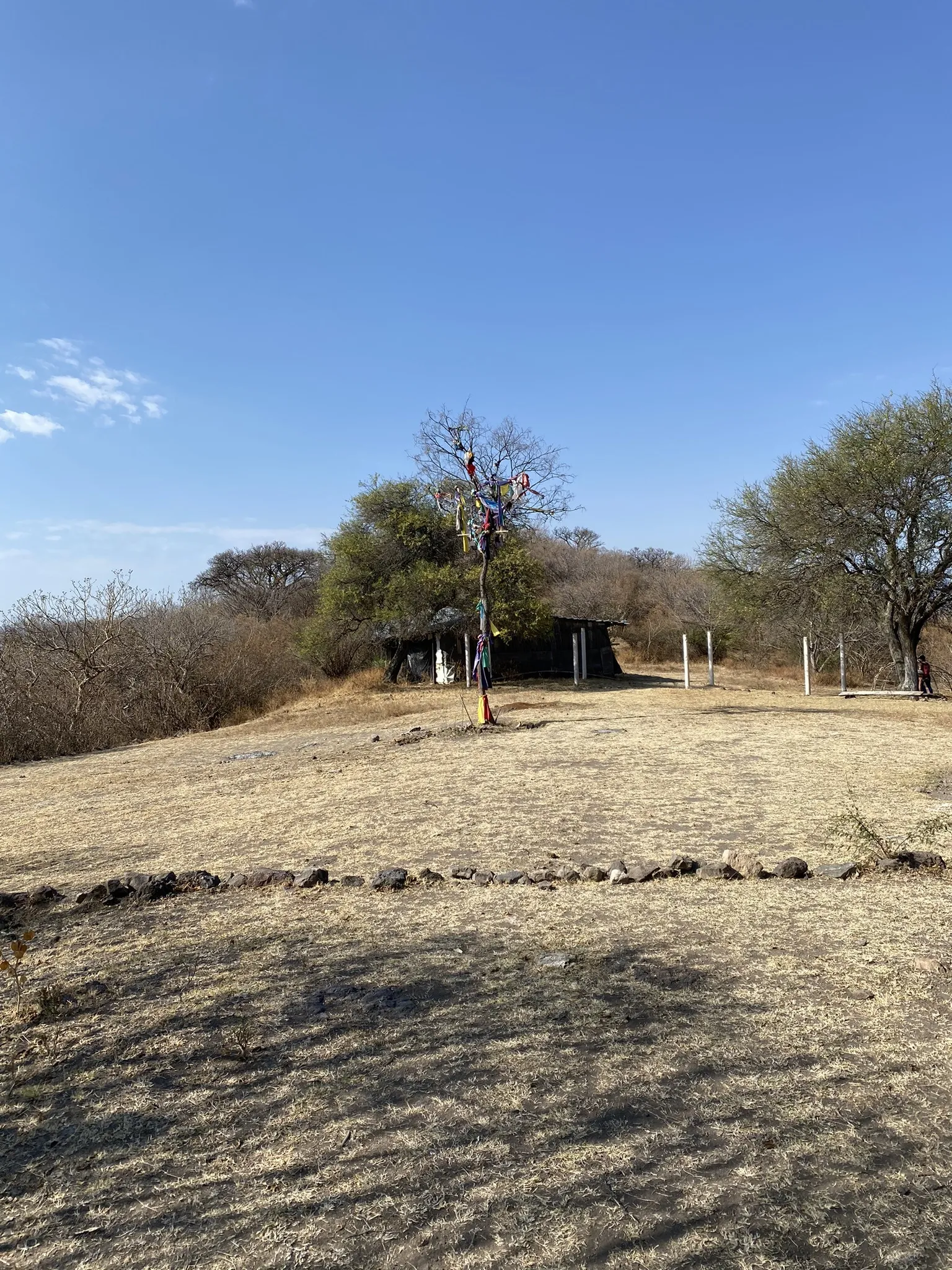
Ceremonial Grounds (Western Route) via Río Nazas — Full Loop
4.20 km / 2.61 mi
↑886 m / 2,906 ft
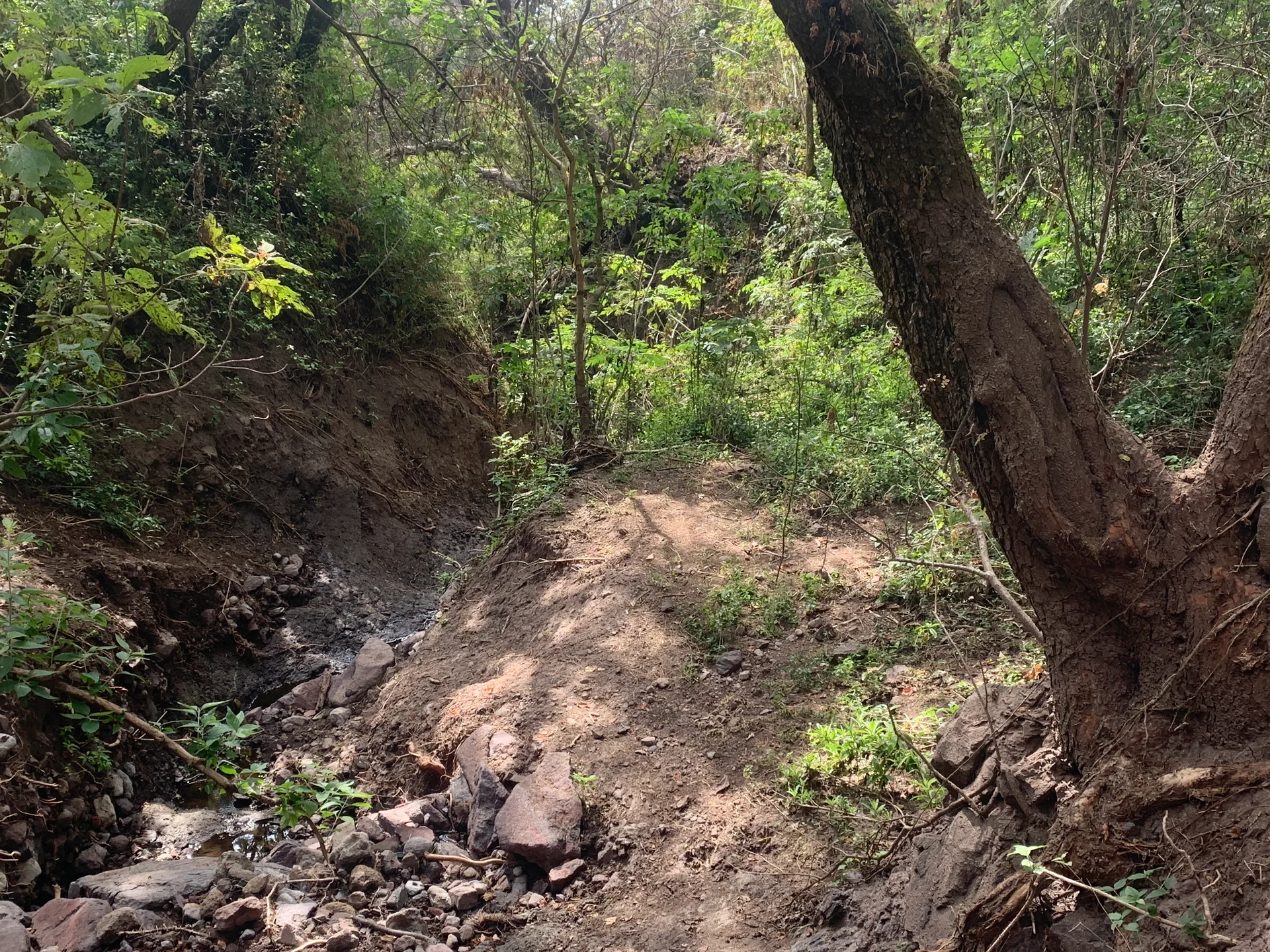
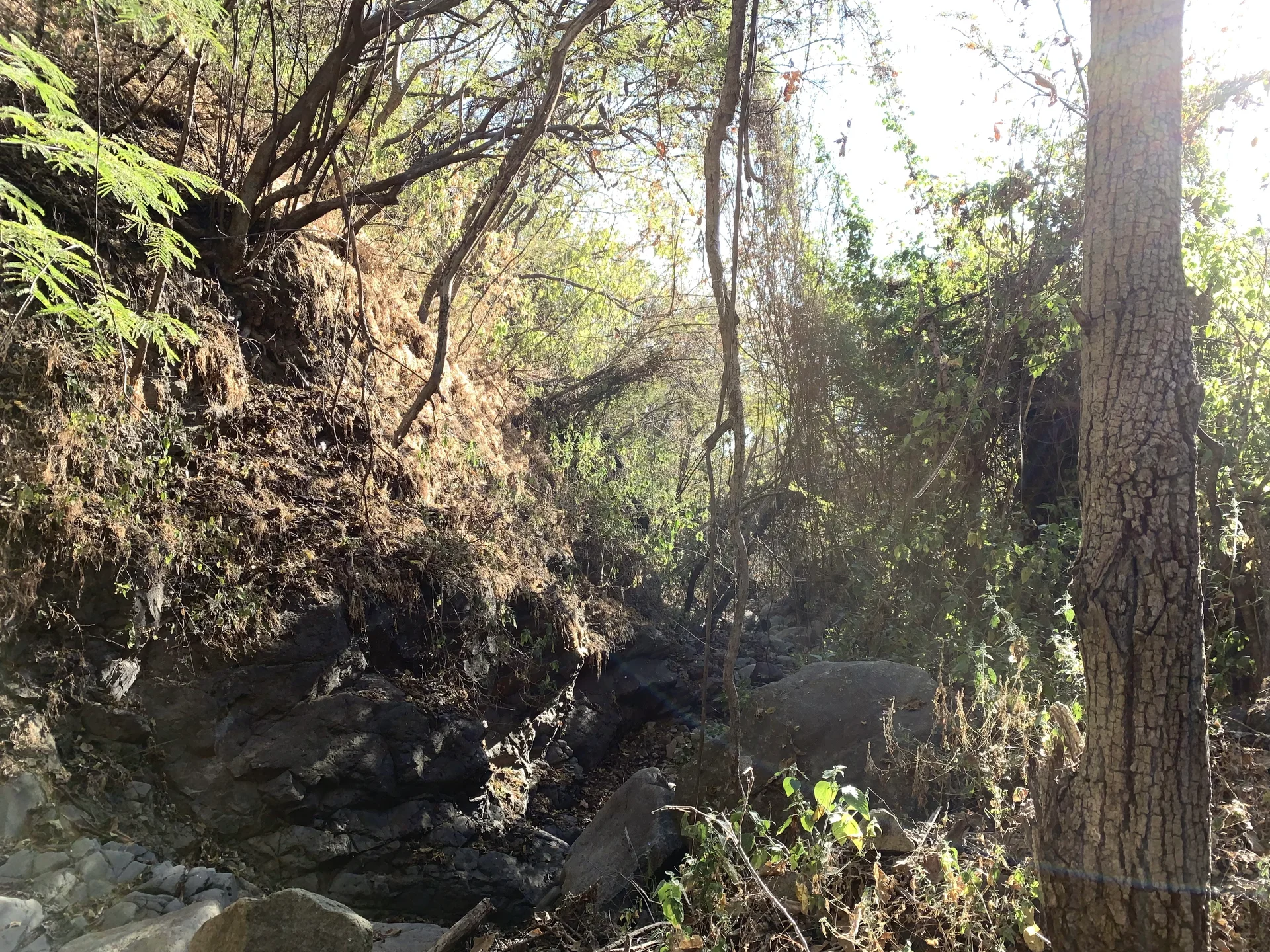
Loop · Overgrown paths and a steep, loose descent
 Trails of Lake Chapala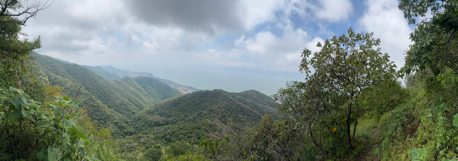
A personal hiking journal
AJIJIC · JALISCO, MÉXICO
Routes I’ve walked. Notes from the hills. A few good reasons to keep exploring.
Explore the hikes01 / The region
The mountains above Lake Chapala are where I often go to explore. Networks of often-forgotten trails climb into the volcanic Sierra de San Juan Cosalá: wooded ravines, open ridges, and views of the largest freshwater lake in Mexico.
This is my record of some of the hikes I’ve done here (and old trails I’ve uncovered), with the practical details I want to remember: where I parked, how I found the trail, and what the walk was like.
AJIJIC / SAN JUAN COSALÁ / JOCOTEPEC
Before you go
 Land & access
Most trails in the Sierra de San Juan Cosalá cross private or ejido land. Ejido land is owned by the local community and managed by its members.
In short: unless you are a private land owner here or a member of the ejido, this land isn't yours. Respect the land and the people who care for it. Close any livestock gates you open, and carry out your damn trash.
 A note on trails
Many of the routes here come from my own explorations and may not be part of an official trail system. At times, I’ve bushwhacked, followed faint paths, and worked through trial and error to rediscover old trails that had fallen into serious neglect.
I haven’t created any of these trails or materially changed any of the landscape to follow them. I’m sharing existing routes I’ve explored, without verifying their official status or making any promise of regular maintenance. Be aware that some may receive no maintenance at all. Assess risk and take caution in line with your own abilities.
Hike at your own risk. Assess the conditions, know your limits, and choose routes that suit your skills and experience.
02 / The hike catalog
5 documented hikes
Ajijic
4.20 km / 2.61 mi
↑886 m / 2,906 ft
Loop · Overgrown paths and a steep, loose descent
Ajijic
3.99 km / 2.48 mi
↑1,029 m / 3,377 ft
Out & back · Faint paths, bushwhacking, and steep, loose ground
Ajijic
3.77 km / 2.34 mi
↑653 m / 2,143 ft
Loop · Steep, overgrown sections
Ajijic
1.33 km / 0.83 mi
↑268 m / 879 ft
Loop · Arroyo and ridge
Try another trail name or region.
03 / About me
I grew up in Maine, where an early trek up Katahdin started a love of hiking and exploring. Since then, I’ve hiked across the United States, Mexico, Japan, Cambodia, Laos, the Philippines, and Vietnam.
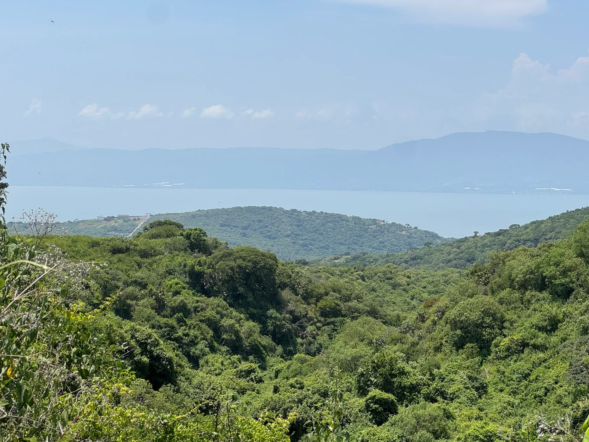
Since settling at Lake Chapala, Mexico, I’ve been discovering the popular local trails as well as the forgotten corners and little-known trails of the Sierra de San Juan Cosalá here.
Some close hiking friends call me “Beer Run,” a trail name I picked up on a Katahdin trip. I’ll tell you about it sometime.
Senderos de Mexico does wonderful work developing and maintaining local trails. This journal is my own record of exploring the region, not a substitute for the work they do . I hope these notes complement that work and help someone searching for a little-known route.
Visit Senderos de México Jalisco →